Geoportal of the Veneto Region

IDT–RV 2.0 is the new Geoportal of the Veneto Region and represents the access point made available to citizens, organizations and professionals to search, consult and download territorial data and services.
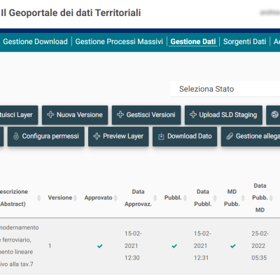
The system manages the entire life cycle of the territorial data of the Veneto Region in such a way as to allow the dissemination of certified territorial information, produced and managed collaboratively not only within the different regional sectors, but also by external subjects holders of the information.
The main services offered by IDT are:
- Search service, to allow the search of territorial data sets and services relating to territorial data, viewing the content of the data and the corresponding metadata;
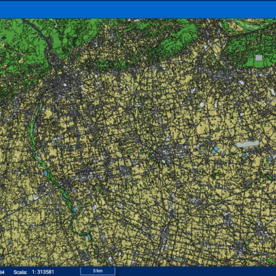
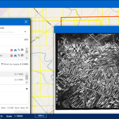
- Consultation service for the geographical visualization of territorial data and the information connected to them and the content of the metadata;
- Visualization service (WMS) cwhich dynamically produces maps referring to the territorial data contained in the Geoportal. WMS services can be used through GIS or WebGIS clients;
- Download service of a complete copy of territorial data sets or part of them.
The service, officially launched into production at the end of 2017, continues to be constantly maintained and updated.


